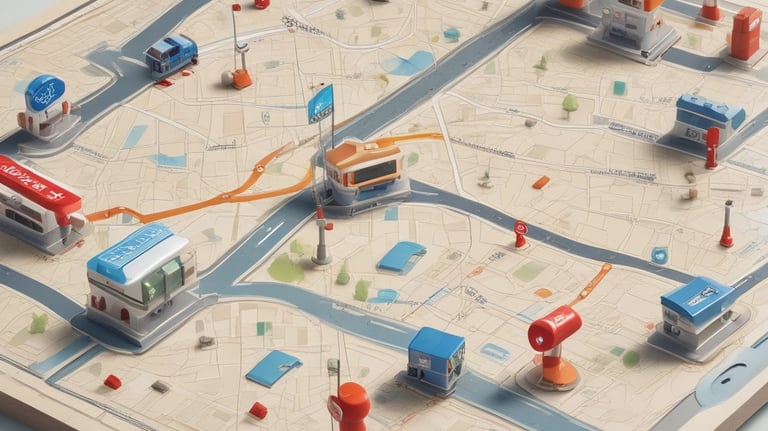
Emergency Preparedness Products
Professional Emergency Preparedness Products
Verified infrastructure intelligence in formats that work when digital systems fail
FIELD TEMPLATES


Precision-designed field tools for navigation, ranging, and situational clarity.
• Range cards (PH16, PH19 formats)
• Grid cards for distance and bearing plotting
• Map cards for route sketching & field notes
• Waterproof-printable designs
• optimized for rapid data collection under pressure
A46 (7x4.625"), A5 and digital formats included
From $5-$15 per template (digital)
RANGE CARDS
ATAK/WINTAK DATA PACKAGES
Personalized evacuation routing with corridor intelligence
• Primary + alternate routes
• Avoids highways, bridges, hazards
• 10-mile corridor resources
• Turn-by-turn navigation
• GPX files for offline GPS
Custom-built for your addresses
From $150 (digital) - $250 (printed)
Tactical mapping plugins for military and first responders
• Complete infrastructure overlays
• KML/KMZ format compatible
• Offline basemap integration
• Custom symbology
• Regular data updates
COMING SOON - Q1 2026
Estimated: $10-15/user/year


Tactical mapping plugins for military and first responders
• Complete infrastructure overlays
• KML/KMZ format compatible
• Offline basemap integration
• Custom symbology
• Regular data updates
COMING SOON - Q1 2026
Estimated: $10-15/user/year
ATAK/WINTAK DATA PACKAGES


ATAK/WINTAK DATA PACKAGES
ATAK/WINTAK DATA PACKAGES
Tactical mapping plugins for military and first responders
• Complete infrastructure overlays
• KML/KMZ format compatible
• Offline basemap integration
• Custom symbology
• Regular data updates
COMING SOON - Q1 2026
Estimated: $10-15/user/year
Tactical mapping plugins for military and first responders
• Complete infrastructure overlays
• KML/KMZ format compatible
• Offline basemap integration
• Custom symbology
• Regular data updates
COMING SOON - Q1 2026
Estimated: $10-15/user/year


Tactical mapping plugins for military and first responders
• Complete infrastructure overlays
• KML/KMZ format compatible
• Offline basemap integration
• Custom symbology
• Regular data updates
COMING SOON - Q1 2026
Estimated: $10-15/user/year
ATAK/WINTAK DATA PACKAGES


ATAK/WINTAK DATA PACKAGES
ATAK/WINTAK DATA PACKAGES
Tactical mapping plugins for military and first responders
• Complete infrastructure overlays
• KML/KMZ format compatible
• Offline basemap integration
• Custom symbology
• Regular data updates
COMING SOON - Q1 2026
Estimated: $10-15/user/year
Tactical mapping plugins for military and first responders
• Complete infrastructure overlays
• KML/KMZ format compatible
• Offline basemap integration
• Custom symbology
• Regular data updates
COMING SOON - Q1 2026
Estimated: $10-15/user/year
Contact
Follow
info@derit.co
© 2025. All rights reserved.
Support

